

June 5, 2027
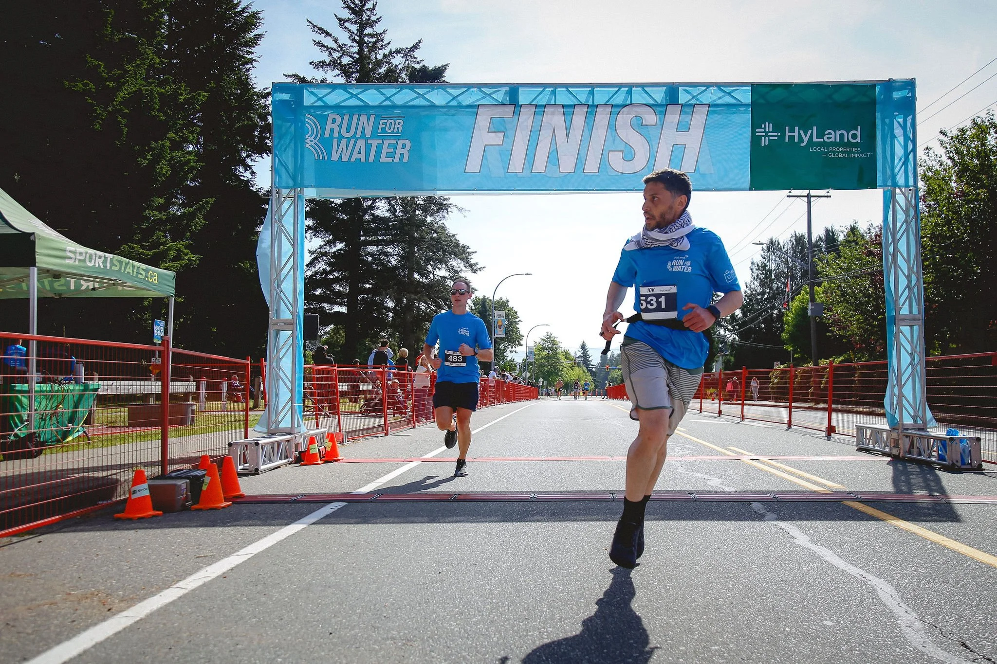
10K Race
10am – Sumas Mountain, Abbotsford
Roughly 450 metres of elevation gain
Lepp’s Farm Market “sando” provided at the finish line
We are cupless,so bring your own water bottle to fill up along the course
Piece of race swag included
Cut-off time: 2:00pm
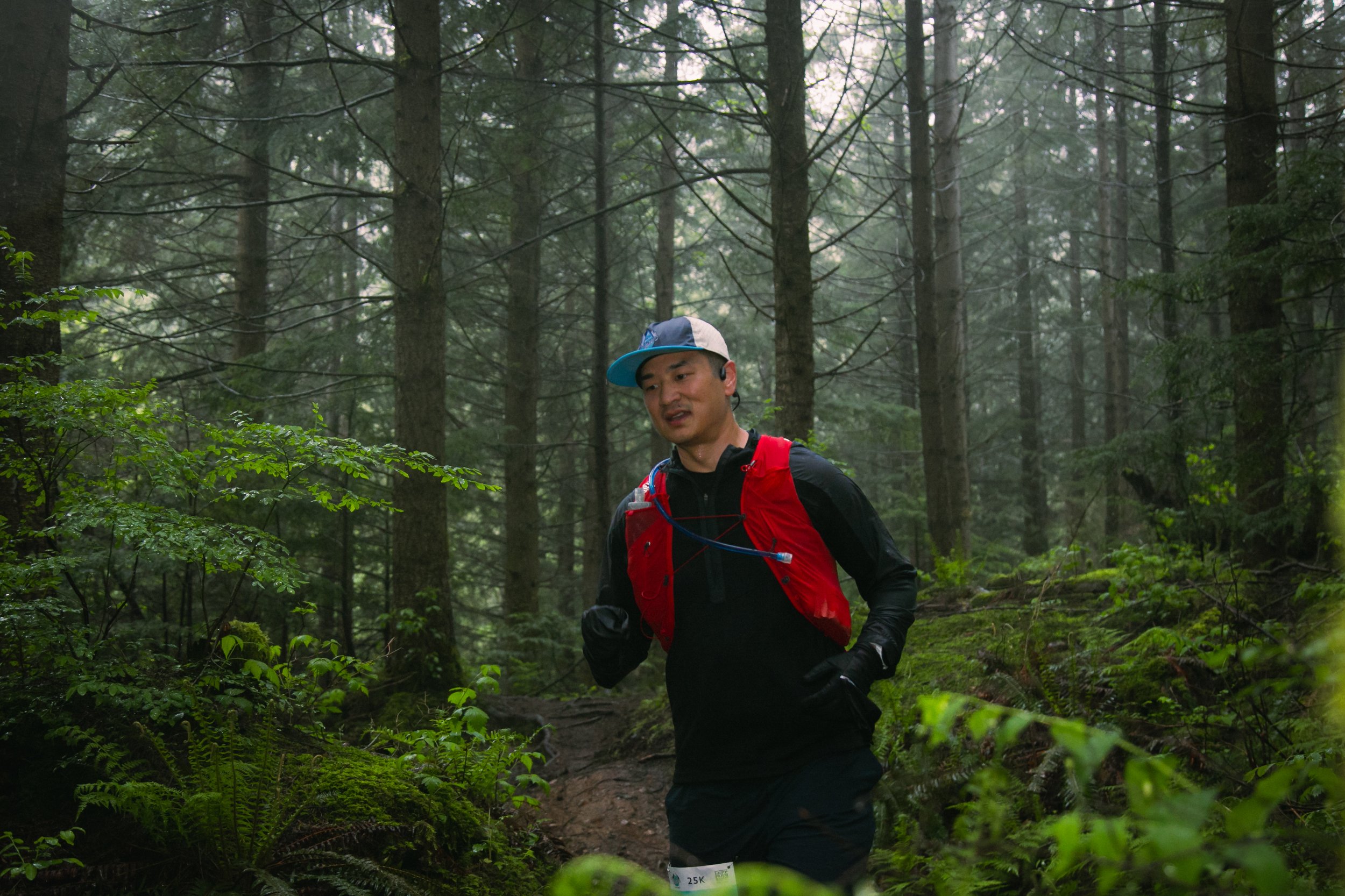
25K Race
8am – Sumas Mountain, Abbotsford
Roughly 1300 metres of elevation gain
Lepp’s Farm Market “sando” provided at the finish line
We are cupless, so bring your own water bottle/flasks to fill up along the course
Piece of race swag included
Cut-off time: 2:00pm

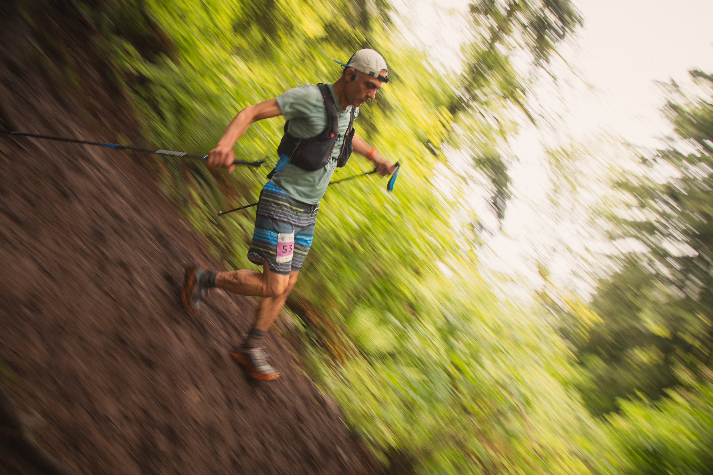
50K Race
7am – Sumas Mountain, Abbotsford
Roughly 2600 metres of elevation gain
Lepp”s Farm Market “sando” provided at the finish line
We are cupless, so bring your own water bottle to fill up along the course
Piece of race swag included
Cut-off time: 2:00pm
Want to go further?
RUN
RIDE
